El Pont de Suert – Gabarret – Espollà
Total distance (km): 14,18
Incline: 277 m
Approximate duration: 1h30
Degree of difficulty: medium, high
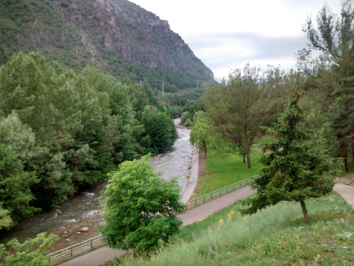
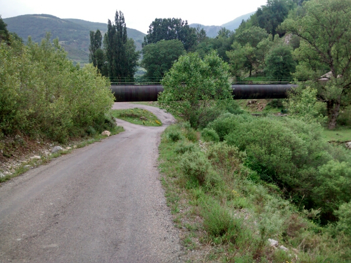
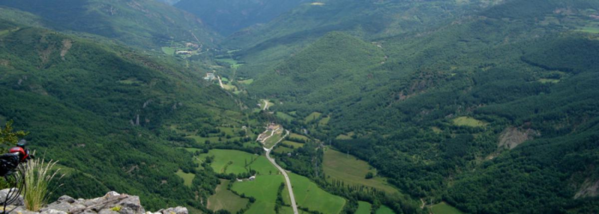
The route starts in Pont de Suert, from the New Church, and goes to the iron bridge that is on the right of the Old Church. The first three kilometres follow a low-traffic asphalt track. The rest of the route is dirt track and goes through the abandoned villages of Espollà and Gabarret.You will enjoy wonderful views of Pont de Suert et Ribagorça region.
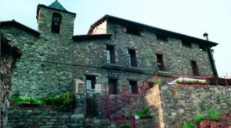
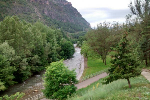
Km 0,00 El Pont de Suert (841 m). Depart from the church square, to the iron bridge, then go on to the left until another bridge, on your left. Take the path to the right that, at the beginning, follows the left side of the waters of Sirés torrent, just below.
Km 1,45 Go straight after the siphon.
Km 3,00 Panoramic curve (925 m)
Km 3,82 At the crossroads, turn right towards Gabarret. The dirt track begins.
Km 4,42 At the junction, head to Gabarret (966 m).
Km 5,12 Follow on the right past the crossroads on the left (1020 m).
Km5,38 Gabarret (1030 m).
Km5,46 Go straight past the path on your right.
Km 6,70 Turn right at the field (1094 m).
Km 8,56 Espollà (1118m). The descent begins.
Km 9,81 Take the road on the left (the one you took previously) and go on down the asphalt track.
Km 14,18 El Pont de Suert. End of the route.