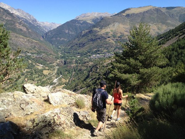
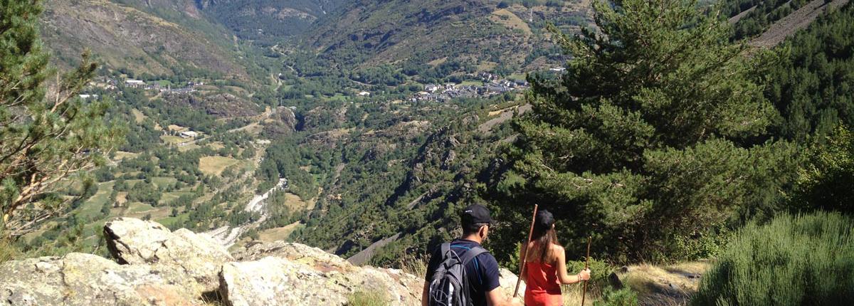
Romanesque Trail I
This route will allow you to walk through the traditional paths that link the villages of Barruera, Erill la Vall, Boí, Taüll and Durro. It hosts wonderful churches designated World Heritages Sites Unesco as well as the Interpretative Centre of Romanesque Art in Erill la Vall and the House of Aigüestortes i Estany de Sant Maurici National Park, in Boí.
- Departure: Barruera*
- Arribal: Barruera*

- Distance: 16 km*
- Duration: Variable, depending on the departure*
- Incline: 385m
- Degree of difficulty: Very demanding
- Type of route: Circular
- Suitable for MTB: Some sections
- Best time of year: All year
* You can start the itinerary from any of the following villages: Barruera, Erill la Vall, Boí, Taüll, Durro.
* Degree of difficulty obtained by SENDIF method
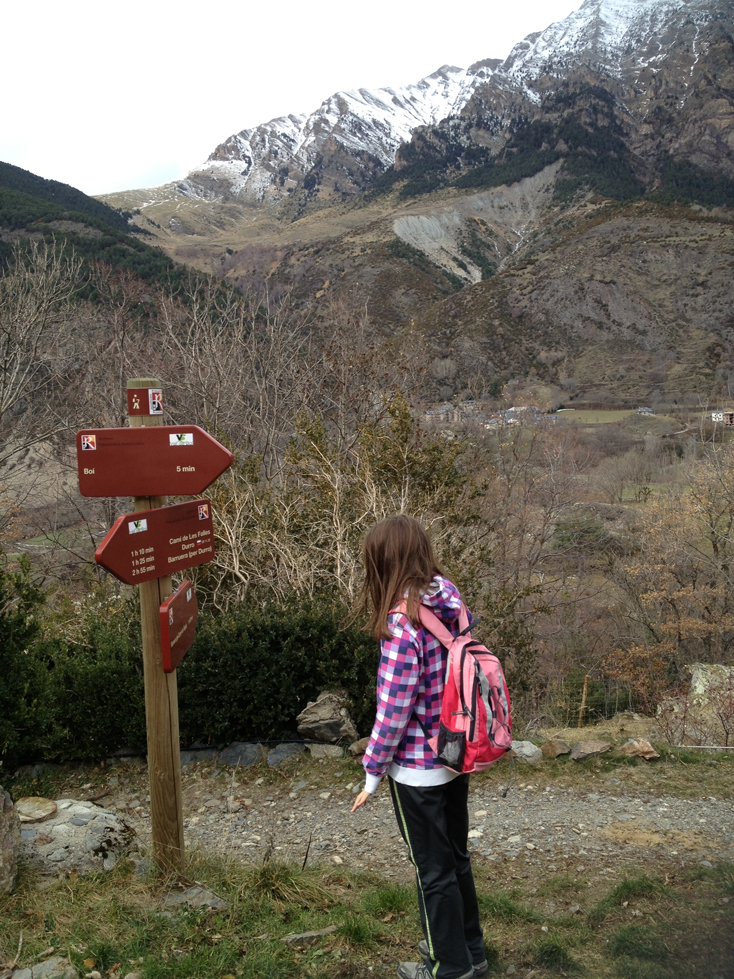
Description of the route: the route can be started from any of the following villages:
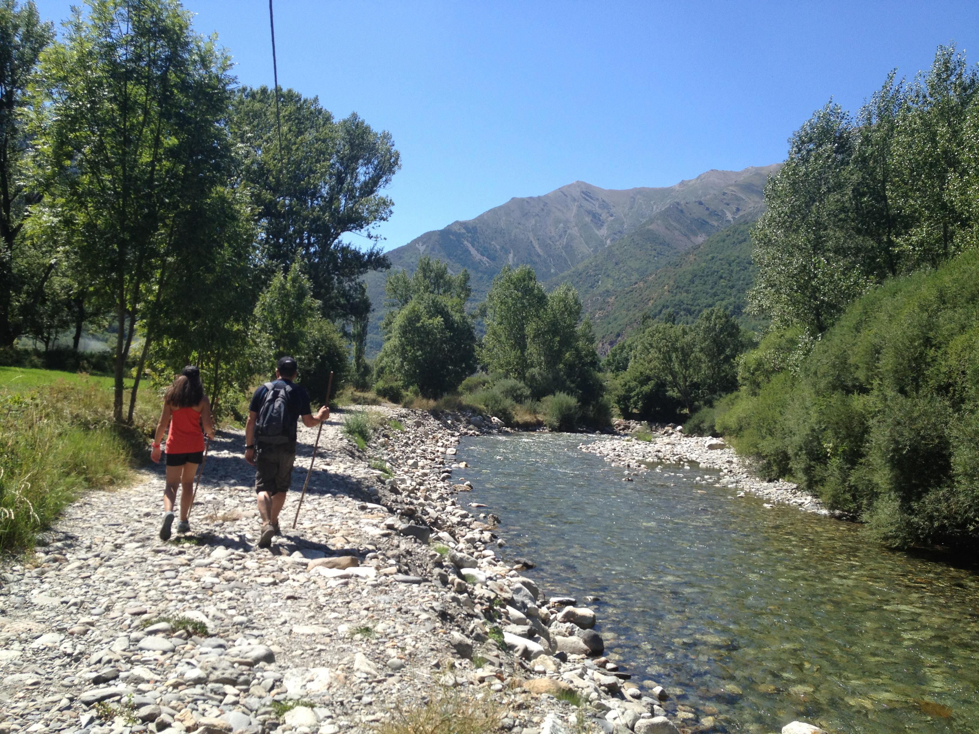
-Barruera - Erill la Vall: Depart from Sant Feliu church, in Barruera (1.090 m), and then head to the river. Instead of crossing it, follow the path along the river, upstream. After a former arm of the river, you will arrive to the entrance of a cement plant. Turn left and follow the path through hay meadows and irrigation canals until you get to a curve of the old road that you will meet after climbing a section surrounded by dry masonry walls. Stay on the right for 350 metres and cross the tunnel under the current L-500 road. Go back on the path, uphill, between dry masonry walls. This is the last section of the ascent. After crossing Basco ravine, you will arrive to Tarter d’Erill square (1.250 m).
-Boí - Erill la Vall: From the car park located near Boí church, follow the marked path across hay meadows until you get to a walkway that spans the Noguera de Tor river. Walk past the water treatment plant, on a cobbled path whose final section is made of wooden stairs that lead to L-500 road. Cross it and go up to Erill la Vall (1250 m).
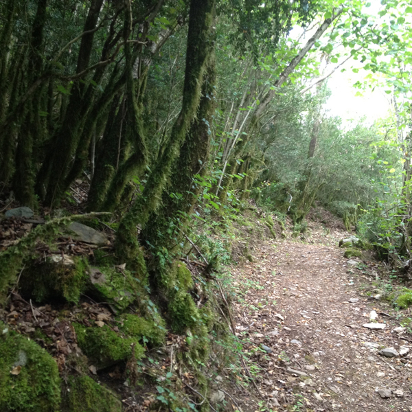
-Boí - Taüll: Depart from Boí (1.265 m) and take the path from the road to Taüll. Near the curve, on the left, inside the village, take the path on the right. The constant ascent will cross the road twice until you meet the road again at a crossroads. Turn left and take the path that goes past a farm, until you get to the upper part of Taüll. Stay on the right and walk 400 metres along the road until Saint Climent church and the lower part of the village.
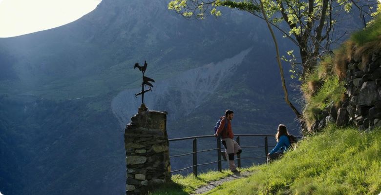
-Boí - Durro: Leave Boí (1.290 m) from Plaça del Riu (square) towards the south on a section of the Water Route. After 200 metres, turn left and cross the large rocky area and enjoy the fantastic panoramic view of Boí Valley. Cross the pass near Roca d’Espà and go downhill to the village of Durro (1.380 m).
-Barruera - Durro: Depart from Sant Feliu church, in Barruera (1.090 m), and then head to the river. Cross it over the old suspension bridge, under the road that goes to Durro. Follow along the road to Durro and after 200 metres, turn right and take the path up across the forest until you get to Durro (1.380 m).