
The Creu de Ferri Trail
- Departure: Adons
- Arrival: Creu de Ferri

- Distance: 3,12 km
- Duration: 1h 15m
- Incline: 270 m
- Degree of difficulty: Moderate
- Type of route: Linear
- Suitable for MTB: No
- Best time of year: Tot l'any
* Degree of difficulty obtained by SENDIF method
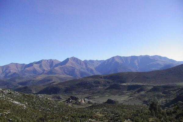
Proposal for a hiking route that goes through the natural area of Serra de Sant Gervàs, from the town of Adons to the Creu de Ferri, the natural viewpoint of the Sierra and La Terreta.