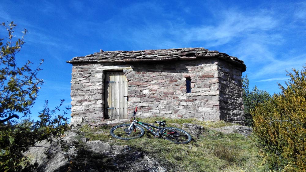
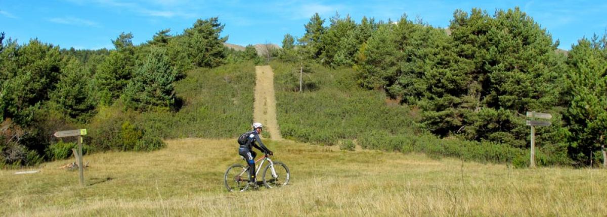
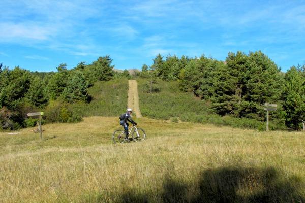
Sant Aventí
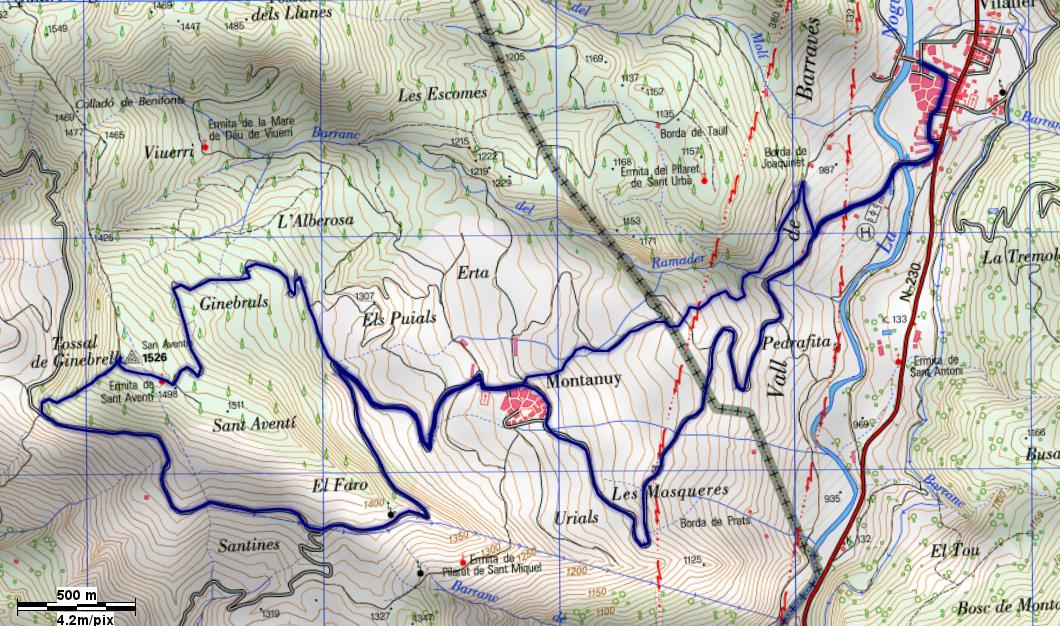
Start and finish: Vilaller
Distance: 15,75 km
Time: 1h30'/2 h
Difference in altitude: 724 m
Difficulty: high (red)
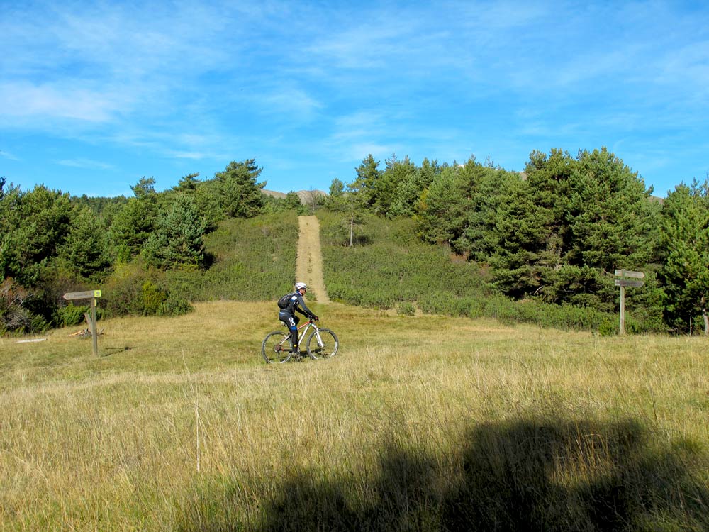
Short but intense uphill and downhill route. We start at the Montanui viewpoint as in route 20 and take the track to the right after 700 m from the viewpoint. Approximately 1.5 km later, we have to be attentive to take a path on the right hand side. We walk up to the carena and where the downhill path starts, which will take us back to Vilaller. It is worth stopping at the hermitage of Santo Aventí. The path down has several possibilities, you will see the signs.