
Ruta del Románico por los caminos tradicionales II
Barruera-Cardet-Pont de Saraís-Cóll-Pont de Saraís-Barruera
Total distance: 12.7 km
Elevation gain 636 m, elevation loss 616 m
Duration: 3 hours 30 minutes
Difficulty level according to Sendif method: Moderate
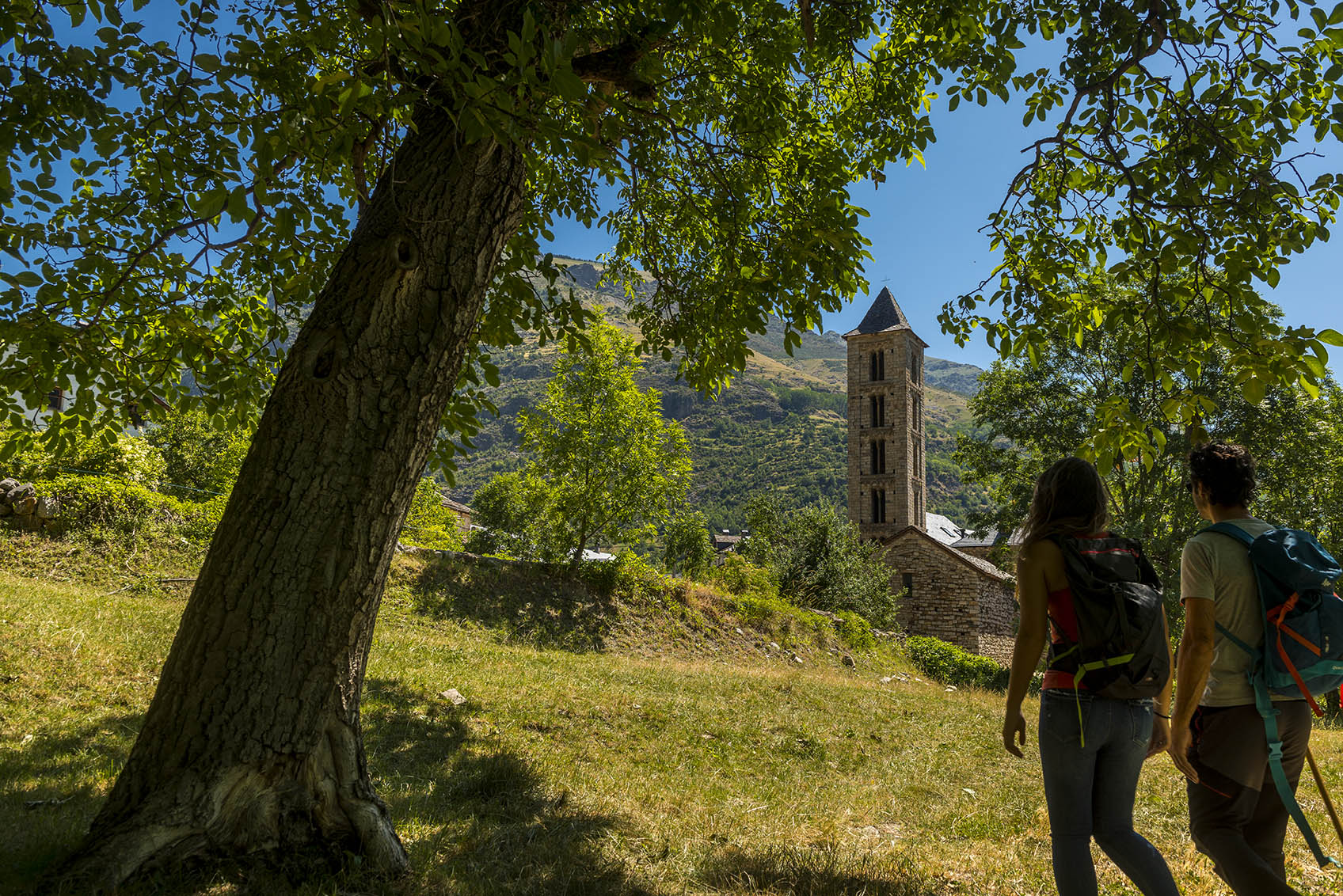
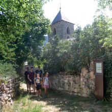
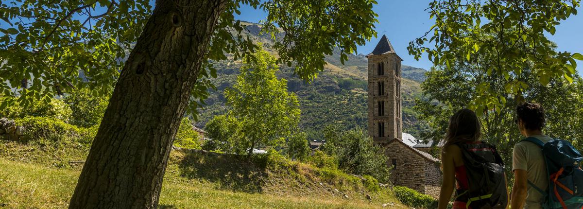
Leave Barruera (1,097 m), from the Tourist Office towards the church of Sant Feliu (next to the river) and follow the path on the right bank of the river in a southerly direction, following the asphalted track to cross the L-500 road. Then we join the path that, flanking the side of the mountain, takes us directly below the church of Santa Maria de Cardet (1,197 m). If we follow the path skirting the village to the south, we go down through the trees again to the L-500 road, at the Cardet dam (1,088 m) to continue towards the Pont de Saraís. Cross the bridge hanging over the Noguera de Tor and continue parallel to the river until you reach Can de Arnalló, at the Pont de Saraís (1,006 m). At this point, cross the L-500 road and join the path that flanks the side of the mountain, first heading N and then turning S until you reach the church of l'Assumpció. Go round the church and continue along the last stretch of the path to the village of Cóll (1,170 m). We will undo the path to return to the Pont de Saraís and return to Barruera by the Water path following the course of the river Noguera de Tor, which we will leave on our left.
We leave Barruera (1,097 m), from the Tourist Office towards the church of Sant Feliu (next to the river) and take the path on the right bank of the river in a southerly direction, following the asphalted track to cross the L-500 road. Then we go up the path that flanks the side of the mountain and that does not lead directly to the church of Santa Maria de Cardet (1.197 m). If we follow the path bordering the village to the S, we go down through the trees again to the L-500 road, at the height of the Cardet dam (1,088 m) to continue towards the bridge of Saraís. Cross the bridge hanging over the Noguera de Tor and continue parallel to the river until you reach Can de Arnalló, at the Saraís Bridge (1,006 m). At this point, cross the L-500 road and climb up the hillside, first heading N, then turn S until you reach the church of l'Assumpció (church of l'Assumpció). We skirt around the church and continue up the last stretch of the ando until we reach the village of Cóll (1,170 m). We will undo the path to go back towards the Bridge of Sarais and towards Barruera we will go along the course of the river of Noguera de Tor that we will leave on our left.
Photo Òscar Rodbag - Archive Vall de Boí